The Future of Weather Radar
See storms the way they actually exist. In three dimensions.
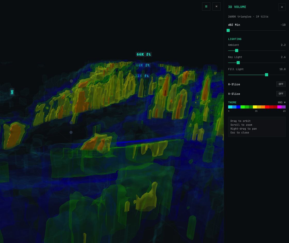
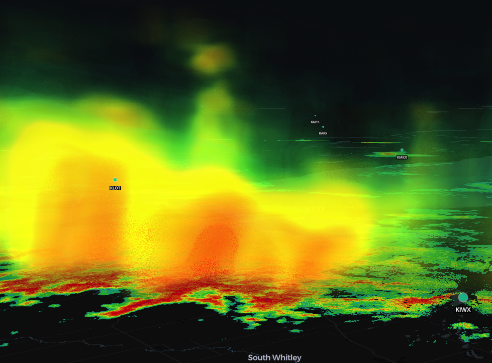
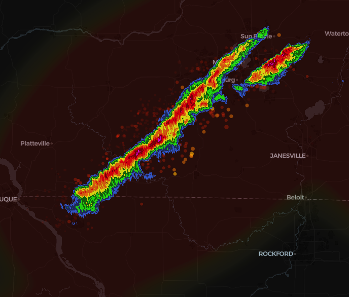
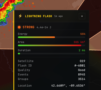
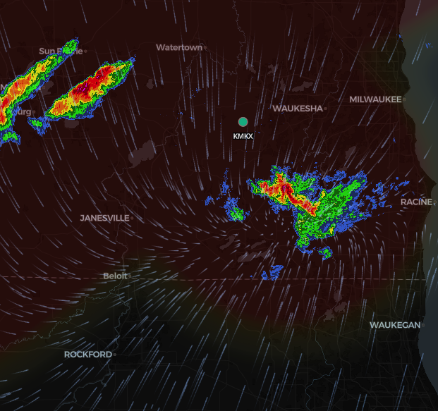
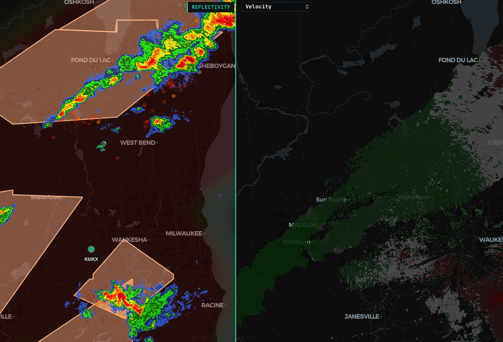
Real-time NEXRAD Level 2 radar with volumetric 3D rendering, storm cell tracking, NASA lightning data, and tools built for people who take weather seriously.
Storm Chasers
Radar Geeks
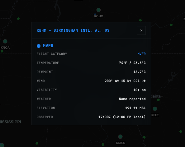
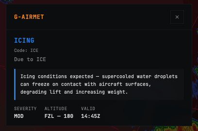
Aviators
Weather Watchers
Scroll to explore